Benchmark Maps Releases Revamped Yellowstone & Grand Teton National Parks Road & Recreation Atlas
Available now: an unmatched cartographic resource for travelers to two of the most beloved national parks in the U.S.
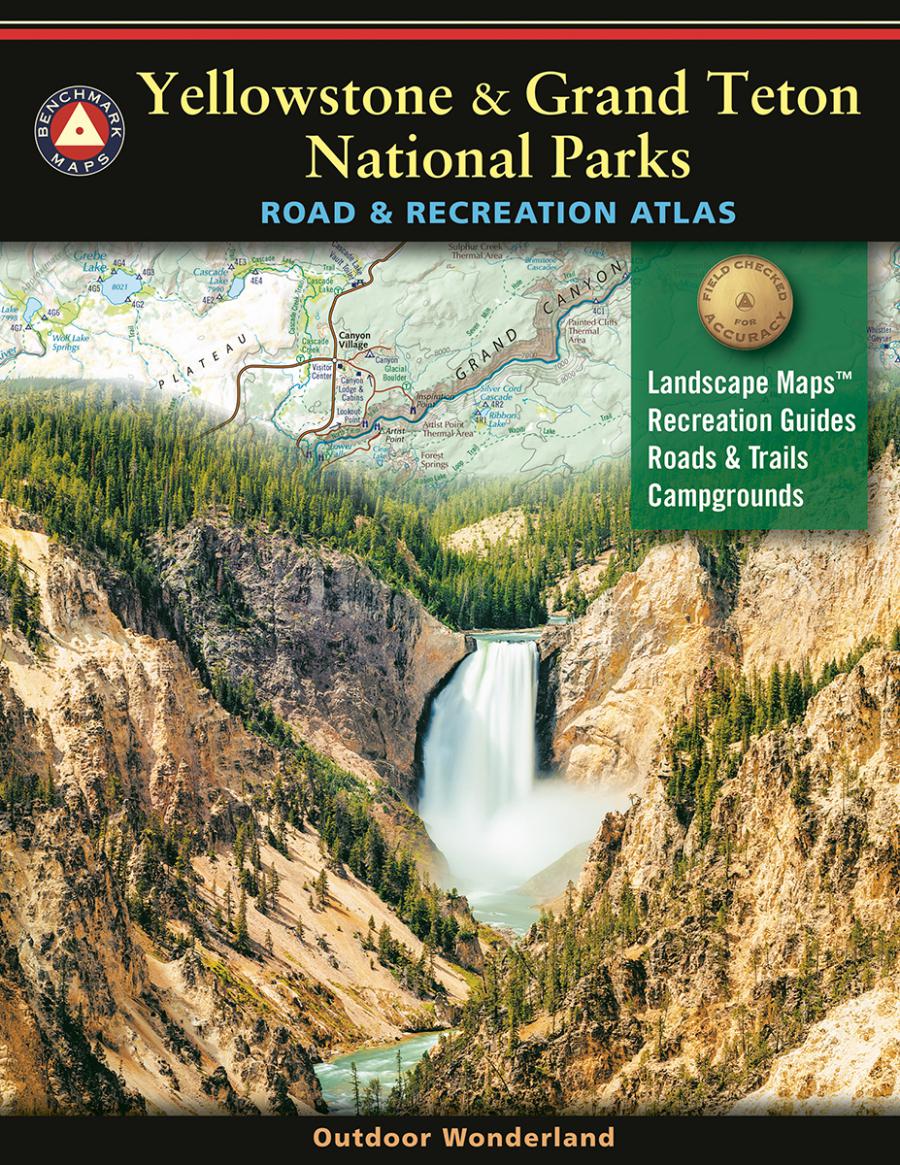
MINNEAPOLIS, MN, UNITED STATES, July 3, 2025 /EINPresswire.com/ -- Benchmark Maps, an East View Map Link (EVML) brand and award-winning map publisher, is pleased to announce the release of the second edition Yellowstone & Grand Teton National Parks Road & Recreation Atlas. This long-awaited update, the first since 2014, introduces extensive improvements and additions, making this atlas the essential guide for exploring these spectacular landscapes.
Featuring the most detailed views of any product in the Benchmark Maps catalog, this atlas equips travelers with everything needed to navigate Yellowstone and Grand Teton with the confidence of a seasoned adventurer. No other resource offers such a comprehensive blend of navigation and recreation information tailored to these iconic parks.
One of the standout features is the completely redesigned Recreation Guide, covering both parks with detailed listings for campgrounds, RV parks, natural wonders, museums, trails, fishing access points, boat ramps, and more. New to this edition are dedicated maps and guides for Winter Recreation in both Yellowstone and Grand Teton, and the popular Yellowstone destinations of Mammoth Hot Springs, Canyon Village, and Old Faithful. Together, these additions help travelers unlock the full recreation potential of the region.
The atlas’s core remains its accurate and detailed Landscape Maps™ — a Benchmark Maps signature — with extensively field-checked road detail and recreation points of interest. Improvements to this edition include the addition of backcountry campsites, updated roads and trails, and more labels for mountains, lakes, and hydrothermal areas, providing travelers with the most current and complete navigation information available.
“Time spent on the ground in these two parks is always a highlight of the field-checking season,” said Chaney Swiney, an East View cartographer and field-checker. “The resulting updates and enhancements make this atlas a valuable resource for all park-goers. Whether you’re sticking to the roads, heading into the backcountry, or just doing some armchair exploring at home, these maps showcase the seemingly endless supply of natural wonders and recreation opportunities found throughout these magnificent landscapes.”
On the road or in the field, this all-in-one resource is a must-have guide for those navigating Yellowstone and Grand Teton National Parks — continuing Benchmark Maps’ 30-year legacy of cartographic excellence.
Availability: The Yellowstone & Grand Teton National Parks Road & Recreation Atlas is available now through major retailers, online stores, and directly on Benchmark Maps’ website.
For additional information, contact an EVML representative or email the support team at evmlsupport@eastview.com.
Grant Bistram
East View Information Services
+1 952-252-1201
email us here
Visit us on social media:
YouTube
Instagram
Facebook
Distribution channels: Book Publishing Industry, Consumer Goods, Culture, Society & Lifestyle, Gifts, Games & Hobbies, Travel & Tourism Industry
Legal Disclaimer:
EIN Presswire provides this news content "as is" without warranty of any kind. We do not accept any responsibility or liability for the accuracy, content, images, videos, licenses, completeness, legality, or reliability of the information contained in this article. If you have any complaints or copyright issues related to this article, kindly contact the author above.
Submit your press release
